University of the Aegean · Department of Marine Sciences
Marine Caves and Reefs in Greece
Advancing monitoring, assessment, and restoration prioritization
Mapping, assessing and restoring Greece’s shallow and deep rocky reefs and its more than 700 marine caves, with remote sensing, scientific diving, artificial intelligence, systematic conservation planning, and citizen science.
What we set out to do
Core objectives
Develop
Next-generation monitoring
Affordable, smart and user-friendly tools that combine high-resolution satellite observation with AI-driven automated image analysis, vastly optimising the speed and interpretation of data collection.
Empower
Citizen & stakeholder science
A national citizen-science initiative with standardised protocols for SCUBA divers, training volunteer divers, oceanography graduates and regional stakeholders to build long-term monitoring networks.
Support
Policy & action planning
National baseline maps of reef and cave distribution and status, paired with spatial optimisation models that prioritise cost-effective restoration where it yields the maximum ecological return.
Greek seas, three frontiers
What we study
01 — Rocky reefs
Shallow & deep rocky reefs
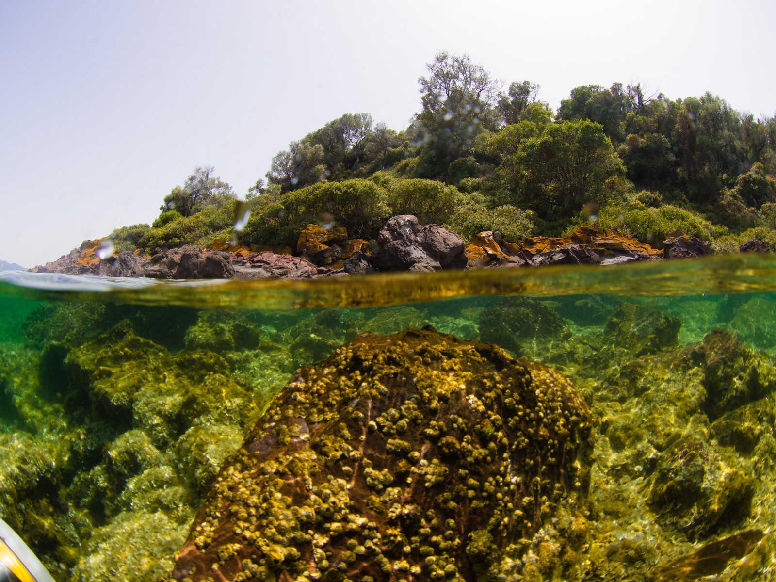
From sunlit shallows rich in macroalgal canopies to deep coralligenous formations and rhodolith beds, Greece’s rocky reefs are among the Mediterranean’s richest habitats. CaRe-GR maps their distribution and assesses their biodiversity and ecological status across the Aegean and Ionian Seas.
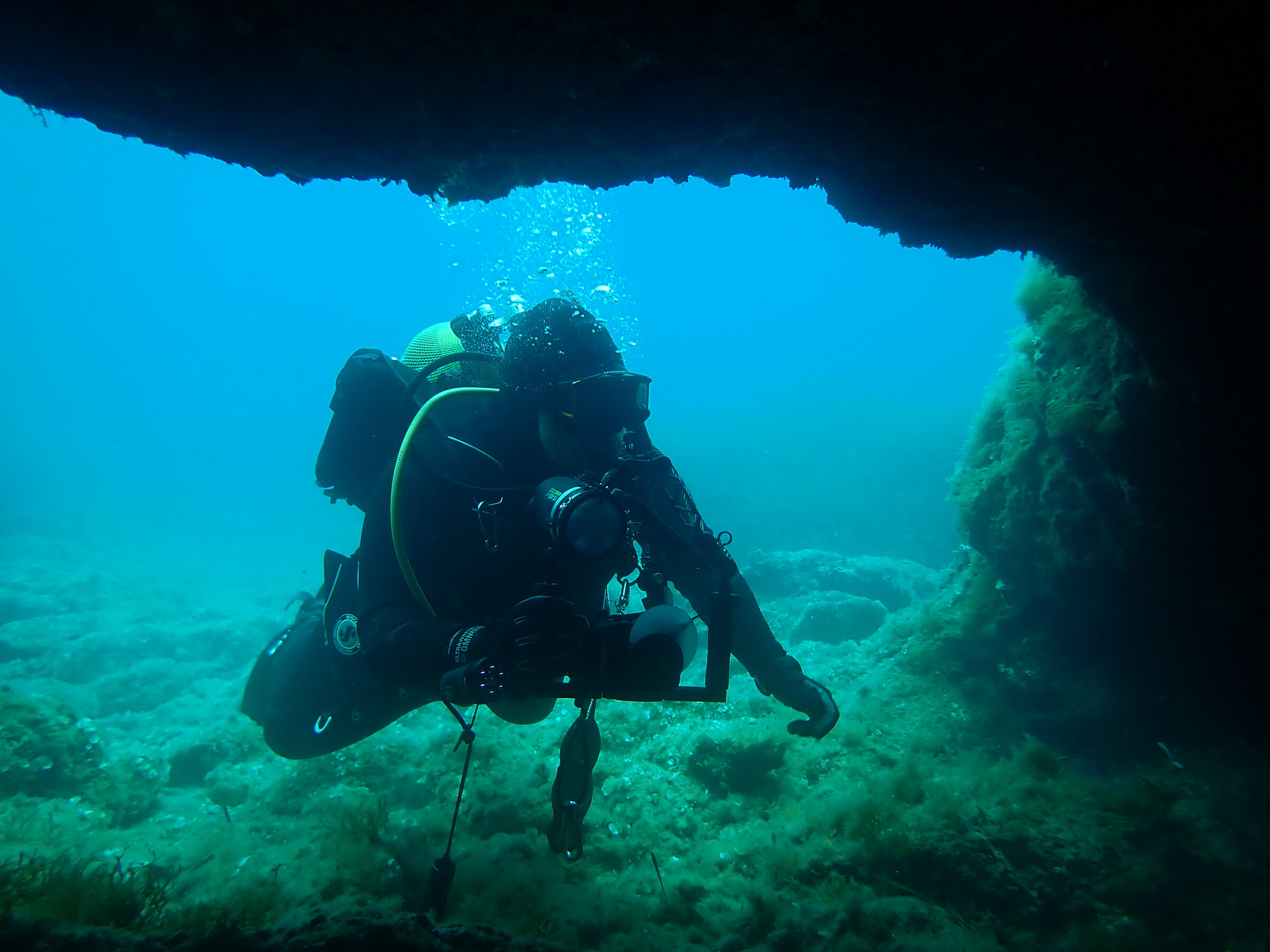
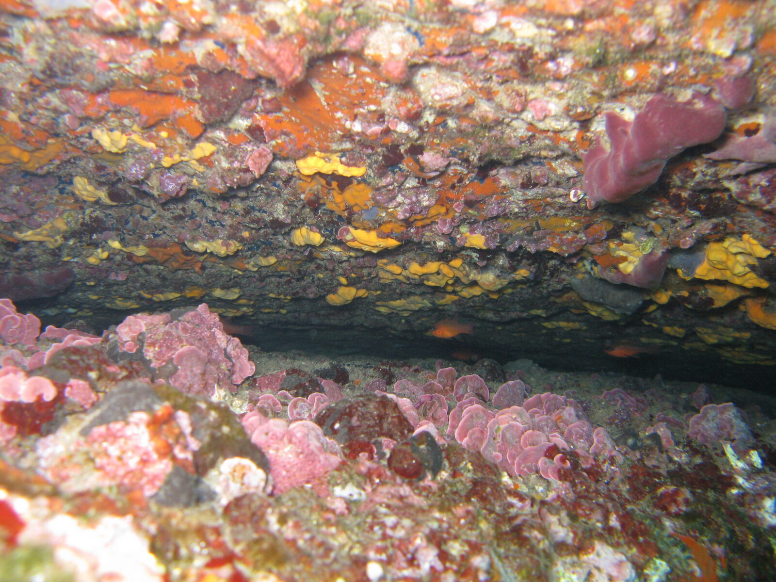
02 — Marine caves
More than 700 marine caves
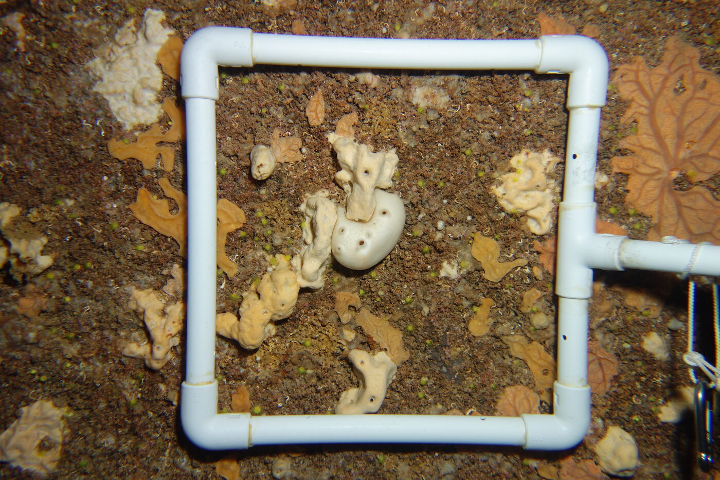
Dark, fragile and globally significant, Greece’s marine caves are biodiversity reservoirs that shelter rare and protected species along sharp light and environmental gradients. CaRe-GR delivers the first national-scale assessment of their condition using non-destructive surveys and the CavEBQI index.
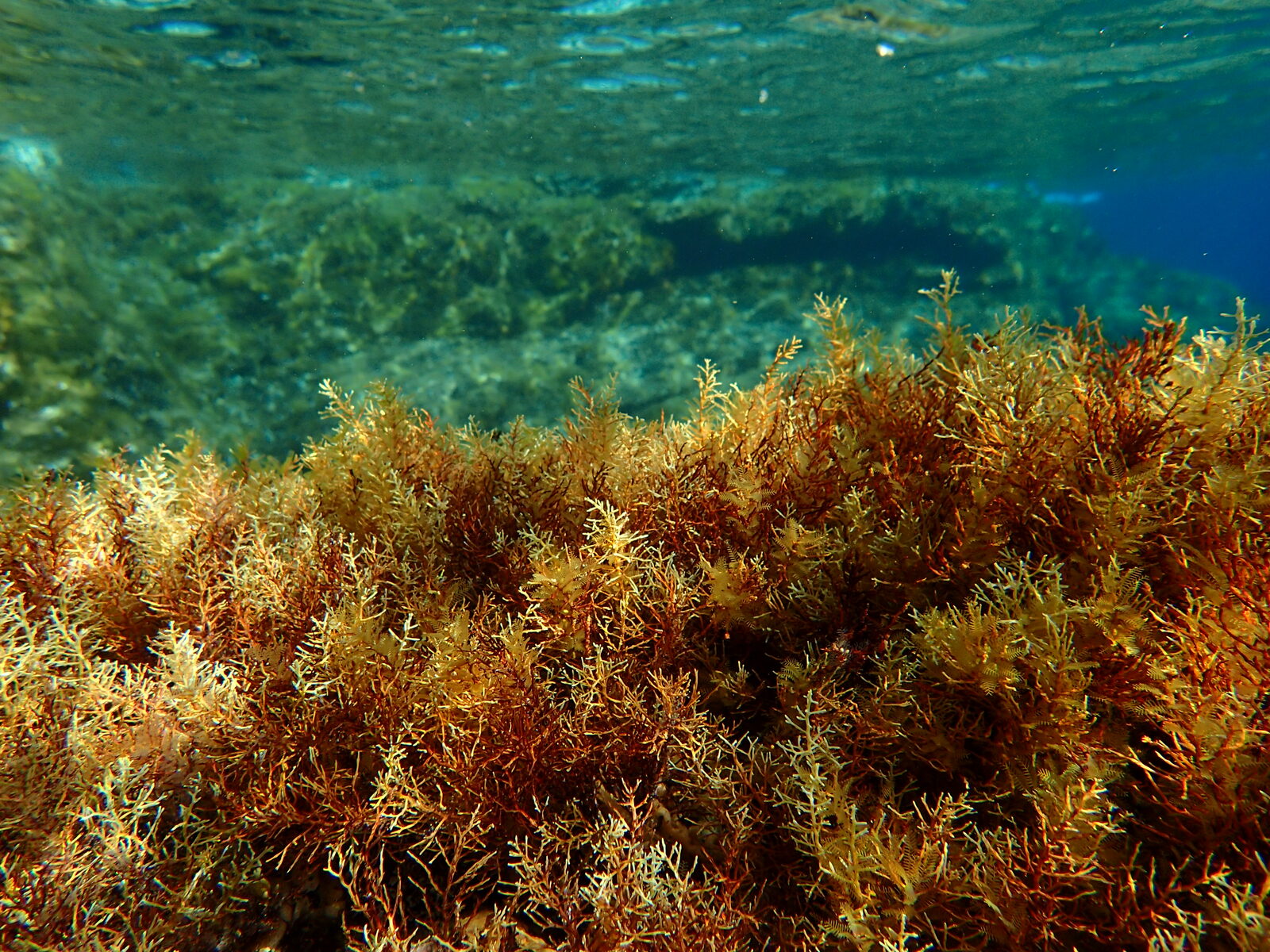
03 — Macroalgal forests
Forests worth restoring
Cystoseira forests are the foundation of healthy Mediterranean reefs. Where overgrazing turns them into impoverished sea-urchin barrens, CaRe-GR tests targeted restoration — urchin control, invasive-species management and canopy transplantation — to bring the forests back.
From space to seabed to strategy
Our approach
One connected workflow turns satellite imagery and dive surveys into a national restoration strategy.
Next-generation mapping
Copernicus Sentinel-2 imagery (10 m) processed with ACOLITE and machine learning maps shallow reefs and macroalgal forests nationally. Deep reefs and 700+ marine caves are compiled through systematic literature and database review.
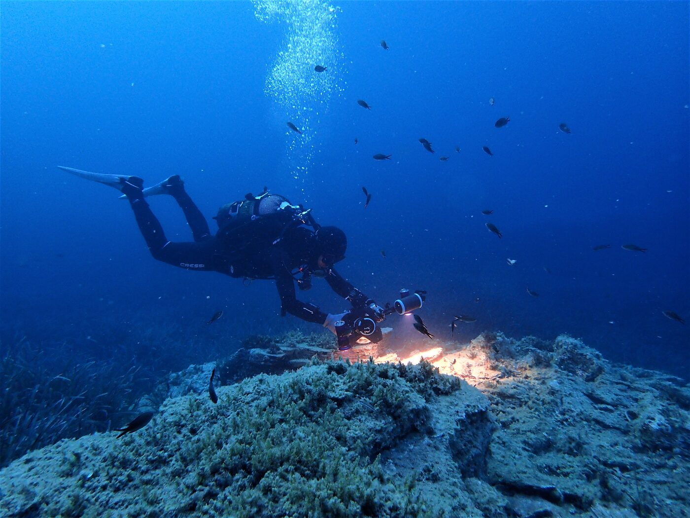
Field assessment & AI
Scientific diving across the Aegean and Ionian Seas applies the rapid ECOfast index and cave visual censuses across three zones. Over 10,000 photoquadrats are classified by deep neural networks (CoralNet), feeding the reef-EBQI and CavEBQI indices.
Restoration prioritization
After a global review of restoration metrics, field-scale pilots test interventions such as sea-urchin culling, invasive-fish control and canopy-algae transplantation. Results feed the prioritizr and restoptr planning tools to produce an optimised national strategy.
48
months of research
€300k
project budget
700+
marine caves in Greece
2
seas: Aegean & Ionian
How the work is organised
Work packages
From the field
Latest news
-

Mapping Greeces reefs from space
In Work Package 2, CaRe-GR is mapping shallow rocky reefs and macroalgal forests nationwide using Copernicus Sentinel-2 satellite…
-
A national call for volunteer divers
CaRe-GR is launching a national citizen-science initiative, Cscience4all – diving, to expand reef monitoring across the Greek seas.…
-
CaRe-GR project launches
The CaRe-GR project (Marine Caves and Reefs in Greece) has launched at the University of the Aegean, Department…
Aligned with EU & Mediterranean policy
Evidence for marine restoration in Greece
- EU Biodiversity Strategy 2030
- Marine Strategy Framework Directive
- Barcelona Convention IMAP
- EU Nature Restoration Law